When interacting with Wiltshire Council about drains we are often asked for proof of the situation and the conversations are repeated after simple gully clearance. This is the kind of level of details we have had to produce to get action: The drains on The Shoe crossroads
If contacting us with details of issues with a particular drain, please provide as much evidence as possible to take to Wiltshire. We do ask the parish steward, when he is available to check drains. (He visits once a month theoretically but is often seconded to other duties when it is not summer.)
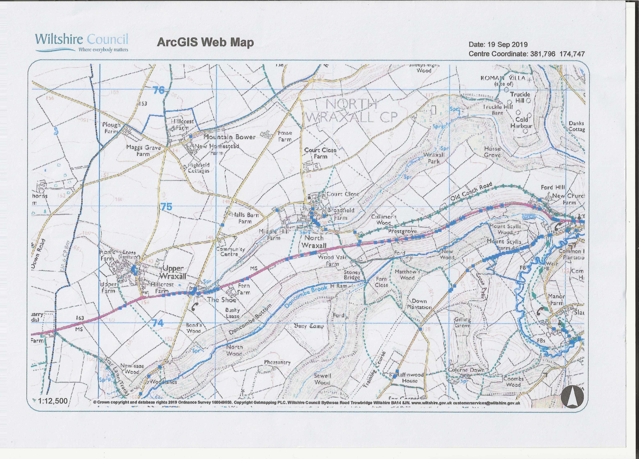
This is a list of the drains in the parish and below that is a scanned copy of the arcgis maps from Wiltshire which we do not have direct access to. The list is also scanned so please do provide any corrections.
FORD A420 Westbound
N1 Park Lane
N2 West of ‘Owen’s Barn’
N3 Front of Church
N4 East side of Old Coach Road
N5 West side of Old Coach Road
N6 }
N7 } On the bend leaving village
N8 }
S1 After bridge
S2 After Village sign
S3 Opposite Castle Combe Road
S4 Outside ‘Watersmeet’
S5 Outside ‘Emsleigh’
S6 ” ”
S7 ‘Virginia Cottage’
S8 Just before layby
S9 Back of ‘Big Thatch’
S10 }
S11 } ‘Doncombe Wood Cottage
S12}
S13 Just beyond Village sign
FORD C151
CN1 Narrow gap by ‘Virginia Cottage’
CN12 Layby at ‘The Dene
CN3 West of ‘Doncombe Mill Cottage’
CN4 Prior to chevrons half way up hill
CN5 Outside ‘Bell Cottage’
CN6 West of ‘Bell Cottage’
CN7 ” ”
CS1 Narrow gap by ‘Brook House’
CS2 Opposite ‘Doncombe Mill Cottage’ gate
CS3 Before chevrons on bend
CS4 Opposite chevrons
CS5 Opposite ‘Bell Cottage’
CS6 ” ”
FORD SLAUGHTERFORD ROAD
E1 On junction with C151
E2 Outside’ White Hart Inn’
E3 }South of bridge by car park entrance
E4 } ” ”
W1 Junction of C151
W2 Corner of ‘Stable Rooms’
FORD CASTLE COMBE ROAD
CC1 North side of road off A420 ‘Bybrook Barn’
THE SHOE A420 Westbound
S14 Outside ‘Heather Cottage’
S15 Outside ‘Little Barn’
S16 Outside Garage entrance
S17 Outside ‘Shoe Cottage’
N9 Opposite Heather Cottage’
N10 Opposite ‘Juniper Cottage’
N11 Outside ‘The Nook’
N12 Outside ‘Orchard Cottage’
N13 Outside ‘Shoe House’
N14 }
N15 } On Cross Roads linked to Inspection Chamber
N16 }
THE SHOE DONCOMBE LANE
E1 Junction of A420
E2 Opposite Kennel entrance to ‘Shoe Cottage’
W1 Outside Kennel entrance to ‘Shoe Cottage’
THE SHOE FOSSEWAY From A420
W2 Outside ‘Shoe Inn’
W3 } Shoe Inn entrance
W4 }
W5 Halfway between cross road (Village Hall) & Middle Fosse Farm’
E1 Opposite ‘Shoe Inn’ entrance
NORTH WRAXALL FROM A420
NW1 After sharp bend
NW2 100yds further on from sharp bend
NW3 } Above ‘Southwood Cottage’
NW4 ” ”
NW5 Briddleway before village sign
NW6 Just below ‘The Bank’
NW7 Outside ‘The Building’ cottage
NW8 Outside ‘White Cottage’
NW9 } Outside Court Cottage
NW10 } Outside Court Cottage
NW11 } Bottom of steps ‘Old School House
NW12 Above the Alms Houses
NW13 At Junction of No through Road
NW14 Opposite double gates of Church
MOUNTAIN BOWER
MB1 Opposite ‘Ridley’s Cheer’
UPPER WRAXALL FROM A420
UW1 }
UW2 }
UW3 } Around the Pond plus Inspection Chamber
UW4 }
UW5 }